Customer Video
Clay County Utility Authority Drives Cost Savings With Asset Management Automations
Customer Video
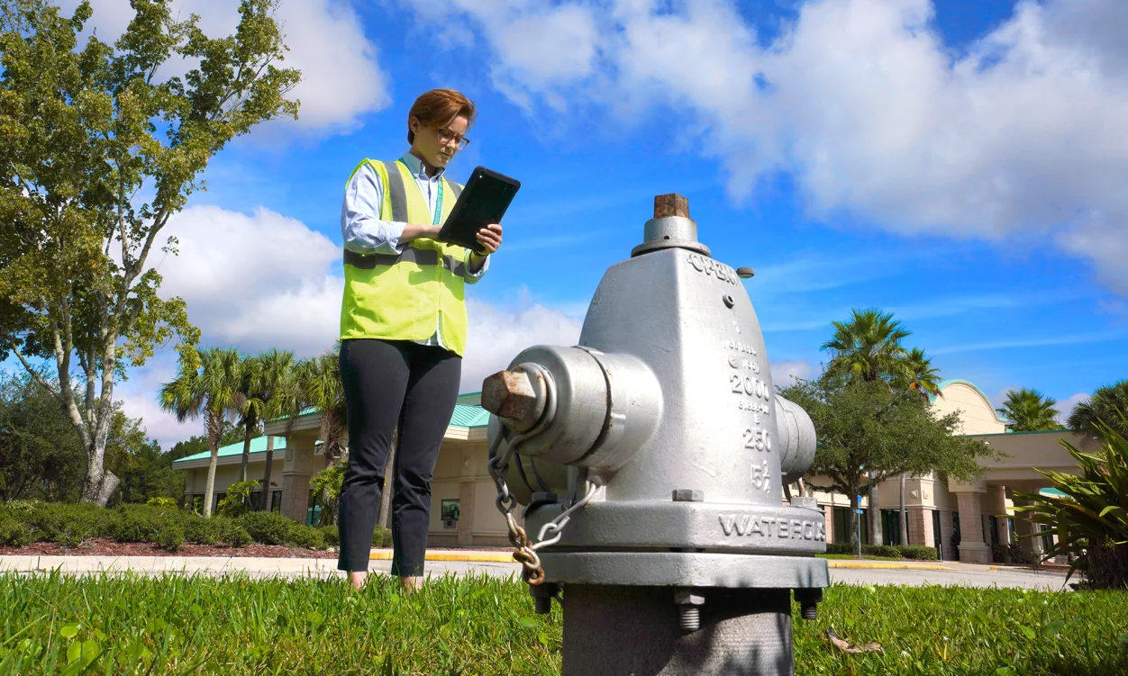
See how the Clay County Utility Authority is using operations data to provide 200,000 residents and 53,000 customers with safe, reliable drinking water, wastewater treatment, and reclaimed water service. Also, learn how their two-way, Cartegraph asset management and Esri, “data lane” is helping to save time on inspections, automate work order creation, rehabilitate aging infrastructure, and maintain the highest level of transparency and accountability with their stakeholders.
Or call (650) 336-7167


